
What We Do
")
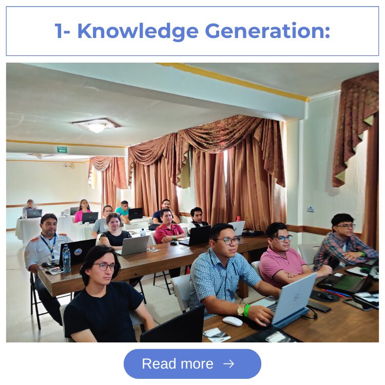
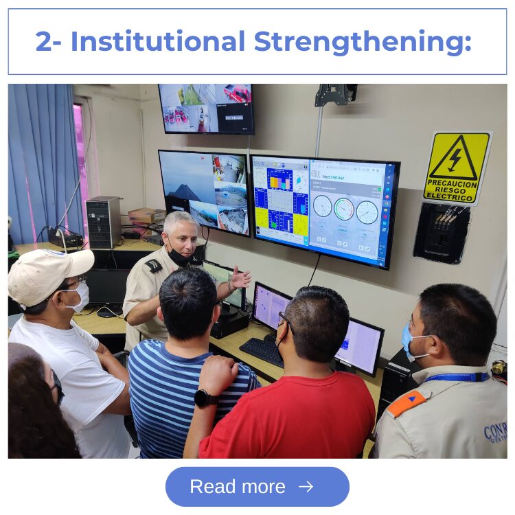
How do we do it
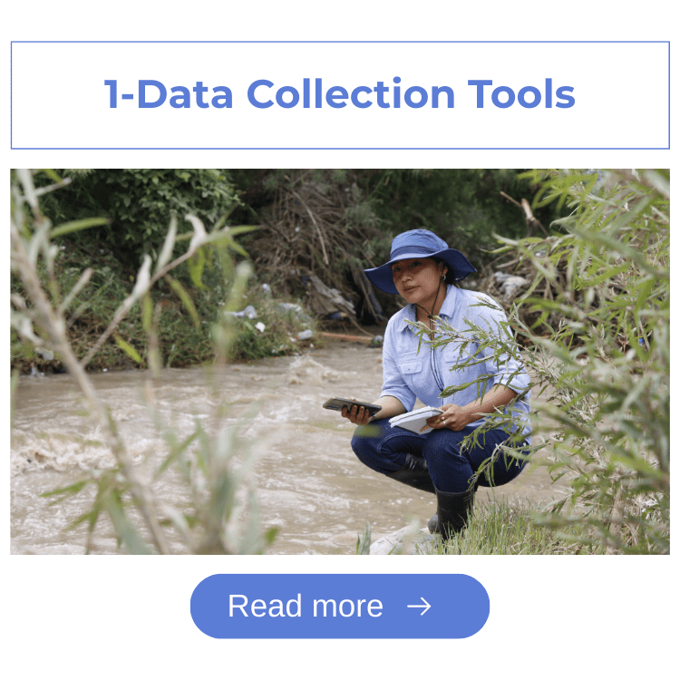
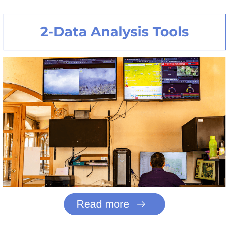
Our Tools and Metodologies
The Territorial Analysis and Monitoring Department uses a variety of technological tools to collect, analyze, and visualize territorial and community data. These tools strengthen our technical work and are shared and transferred to institutions, municipalities, and local organizations so they can apply them in their own management and decision-making processes.
Our Team
Meet the Territorial Analysis and Monitoring Promoters
Our Products and Services
")
Are you looking for information about a territory?
We offer our expertise in territorial analysis and environmental monitoring. Contact us and we will help you access key data, maps, and information for your projects.

Do you need to generate territorial information for your area of intervention?
We offer data collection services, geospatial analysis, and monitoring system development. We support you from planning through delivery of decision-ready results.

Do you want to strengthen your team’s skills in territorial management, risk analysis, and GIS tools?
We offer practical, customized training processes for institutions, municipalities, and organizations.
Weather Stations

View the Quarterly Climate Report
A summary of the most relevant trends and variations.
Access geotechnical reports and maps for the Lake Atitlán watershed
Includes geology, geomorphology, recharge, and susceptibility maps.
DAT in Action

")


